ACTIVITYActivity reports
- HOME
- Activity reports
- Report on Completion of Internship at National Maritime Research Institute (MATSUDA, Course of Maritime Technology and Logistics)
Report on Completion of Internship at National Maritime Research Institute
(MATSUDA, Course of Maritime Technology and Logistics)
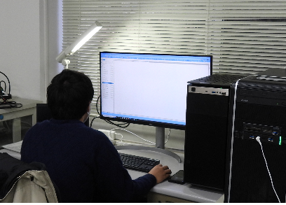
I completed an internship at the Intelligent Data Systems Division of the National Maritime Research Institute once a week from July 21 to December 20, 2022. The name of the project is "Development of Transportation Simulator by Multi-Agent System". The following is a summary of the results and my impressions
1. Outcomes
1.1 Understanding and operation of multi-agent simulation (August ~ September)
Based on the handover from Mr. Nakayama, the previous supervisor, I was able to understand the types of input/output files and actually run the simulation to gain an overview of the multi-agent simulator.
We also made hypotheses, changed simulation conditions, and observed the changes in simulation results.
1.2 Understanding and processing of mobile spatial statistical data (October ~ November)
Programs lists created
(1) A program to convert mesh codes into latitude and longitude
(2) A program to visualize mobile spatial statistics using heat maps
(3) A program that calculates the city/town/village (each municipality) code to which the point belongs from an arbitrary latitude and longitude based on the API of the Geospatial Information Authority of Japan (GSI).
The programs were implemented using python with reference to existing libraries and websites such as technology blogs. The implementation itself was easy because there are many libraries that handle geographic data, and most of the programs I imagined have already been published on the Internet by someone else. However, there were times when I struggled because it took me a long time to realize that there were errors in the mobile spatial statistics data itself.
1.3 Reflecting mobile spatial statistics data in the input file of multi-agent simulation (December~)
A program was created to calculate the expected distribution rate of the injured and sick in each municipality based on the mobile spatial statistical data. The expected distribution of the sick and injured in each municipality was calculated by weighted clustering (k-mean++), where the expected number of sick and injured in each municipality = the number of clusters.
2 Impressions
I realized how difficult it is to convey the algorithm I thought up in my mind through verbal or written (non-verbal) communication. I also learned the usefulness of using visualization tools such as graphs, image pictures, and other charts to explain information. In my laboratory seminar research report, my supervisor pointed out the same thing to me, and I recognized that I have to have ability to "convey information with a somewhat complicated structure in a concise manner to others and have them understand it. I would like to conduct my research activities by making good use of the above-mentioned visualization tools.
MATSUDA, 1st year student, Course of Maritime Technology and Logistics